Boise Trails – solving environmental and safety challenges for over 6 million trail users

My role: UX Design, Survey Analysis, User Interviews, Field Studies, Usability Testing, and Photography
Project timeline: Started 2022 - Ongoing
Platform: iOS, Apple Watch, Wahoo Cycling Computer
Overview
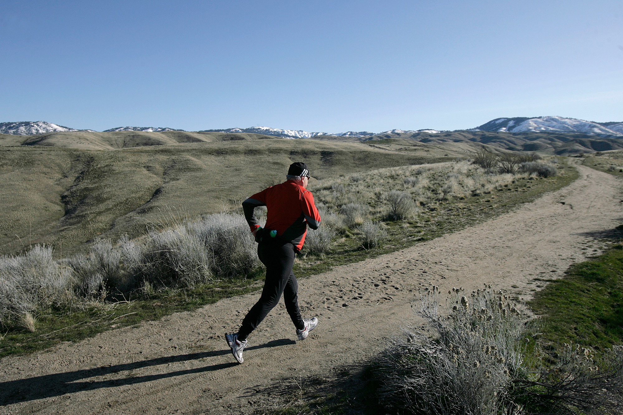
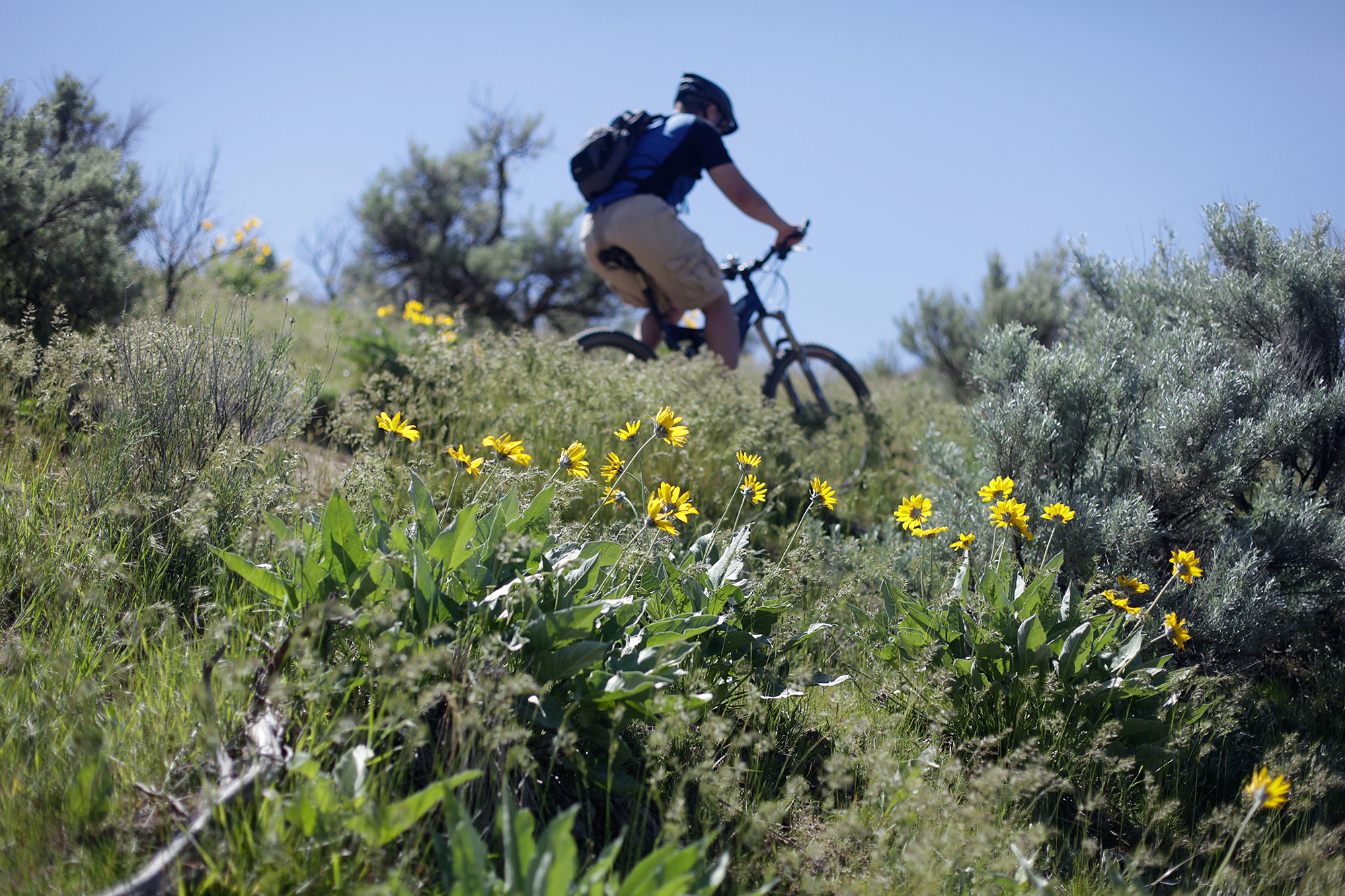
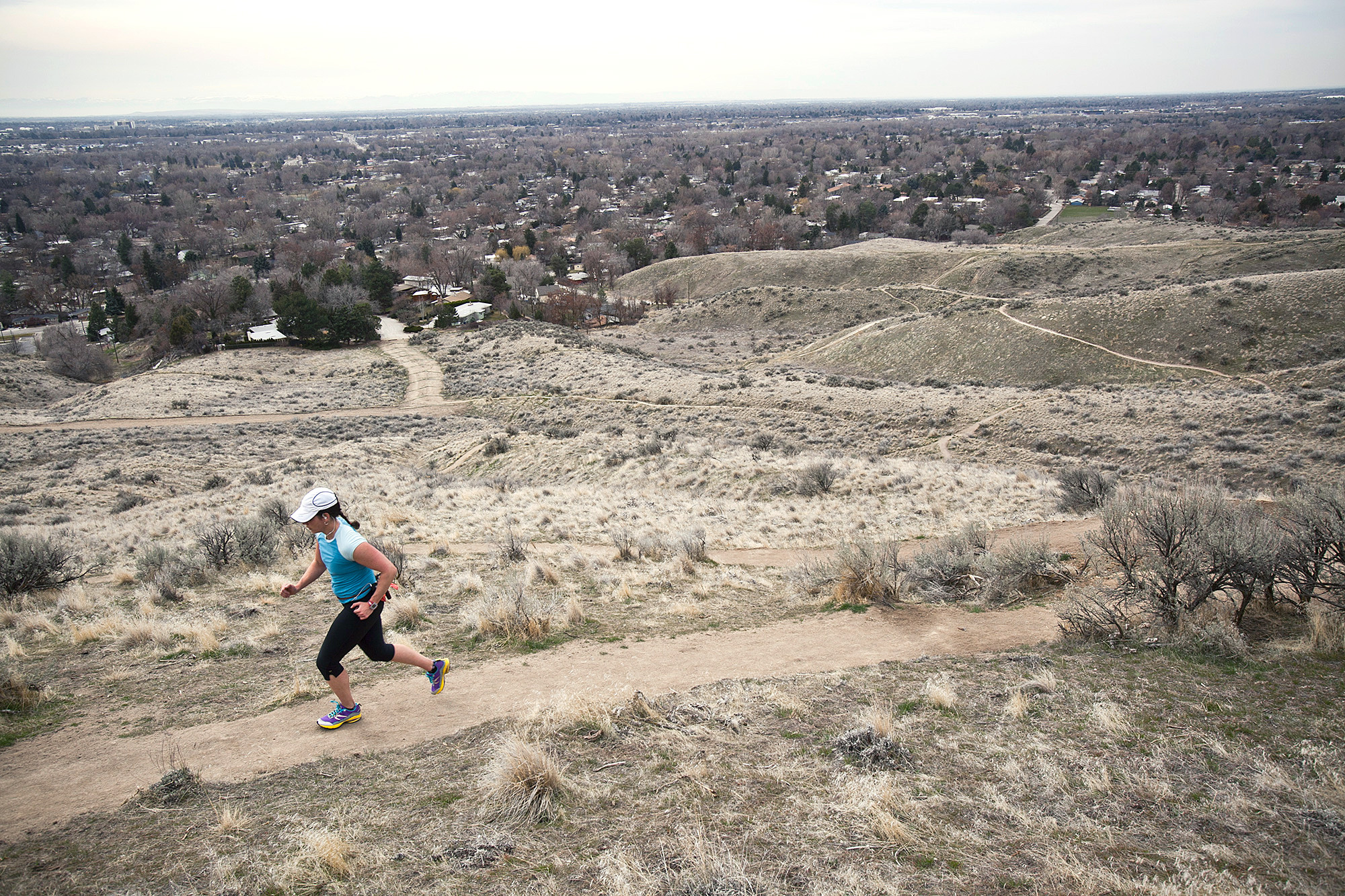
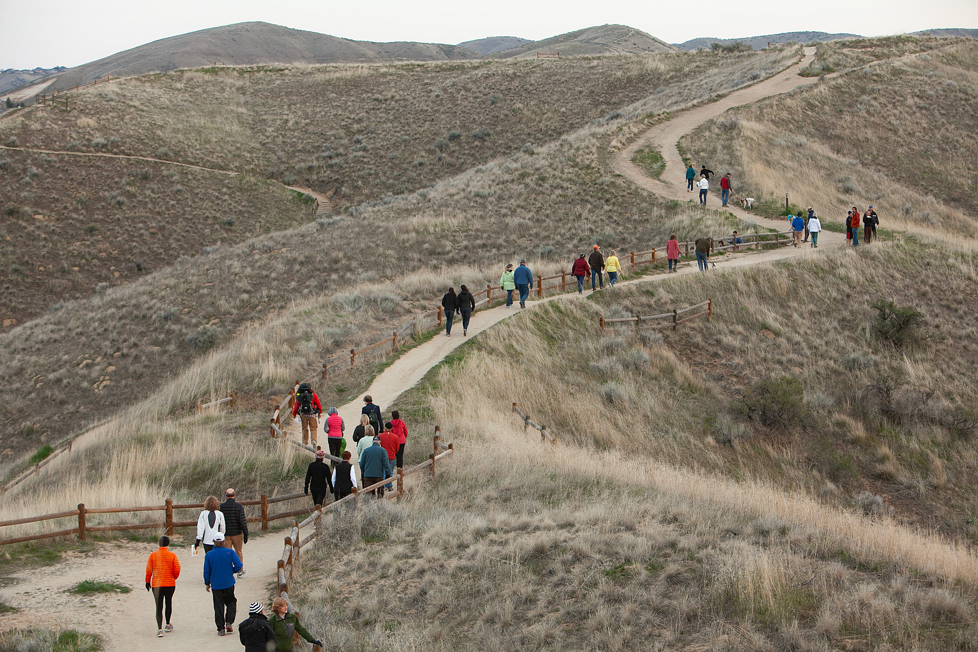
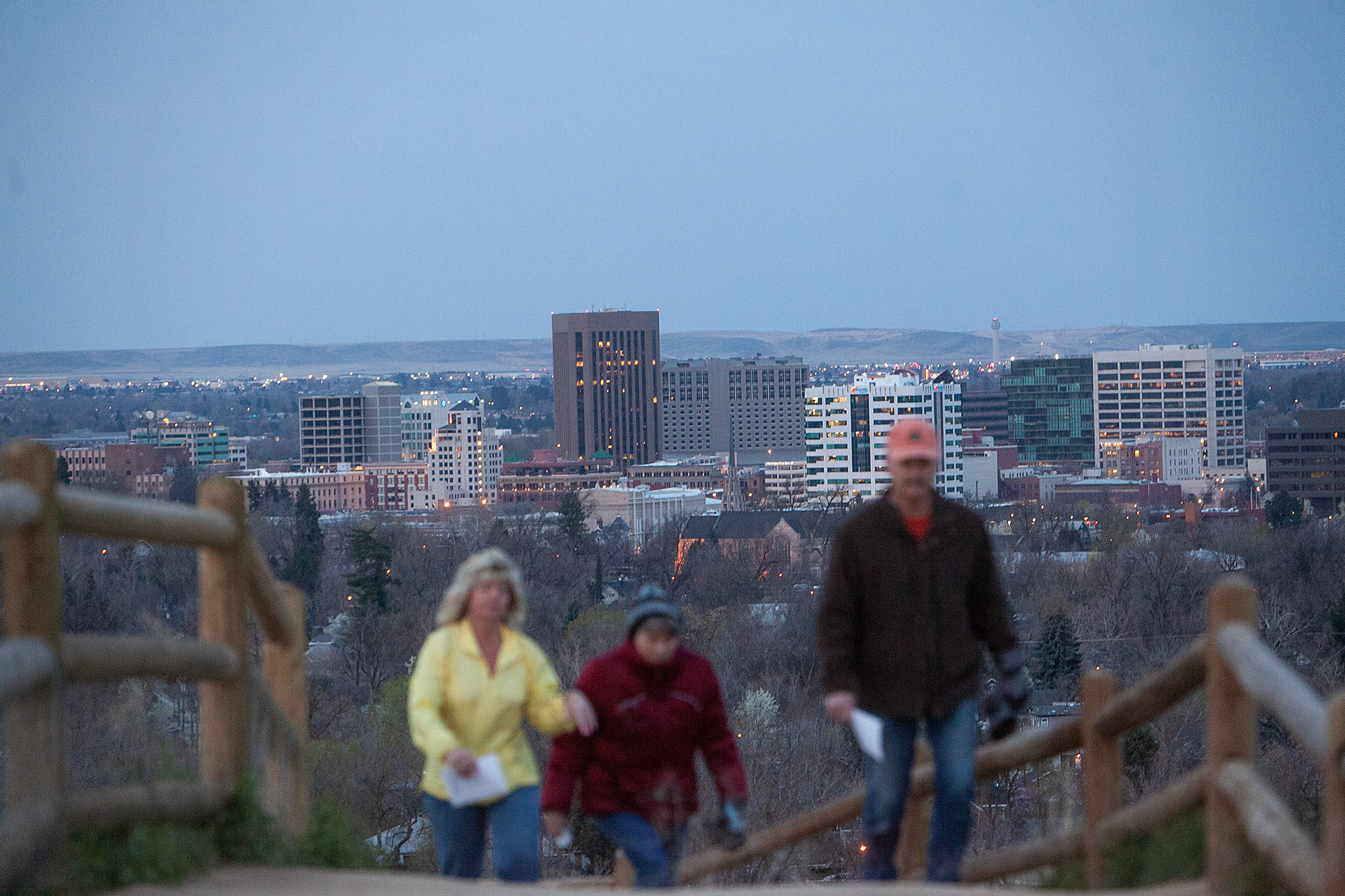
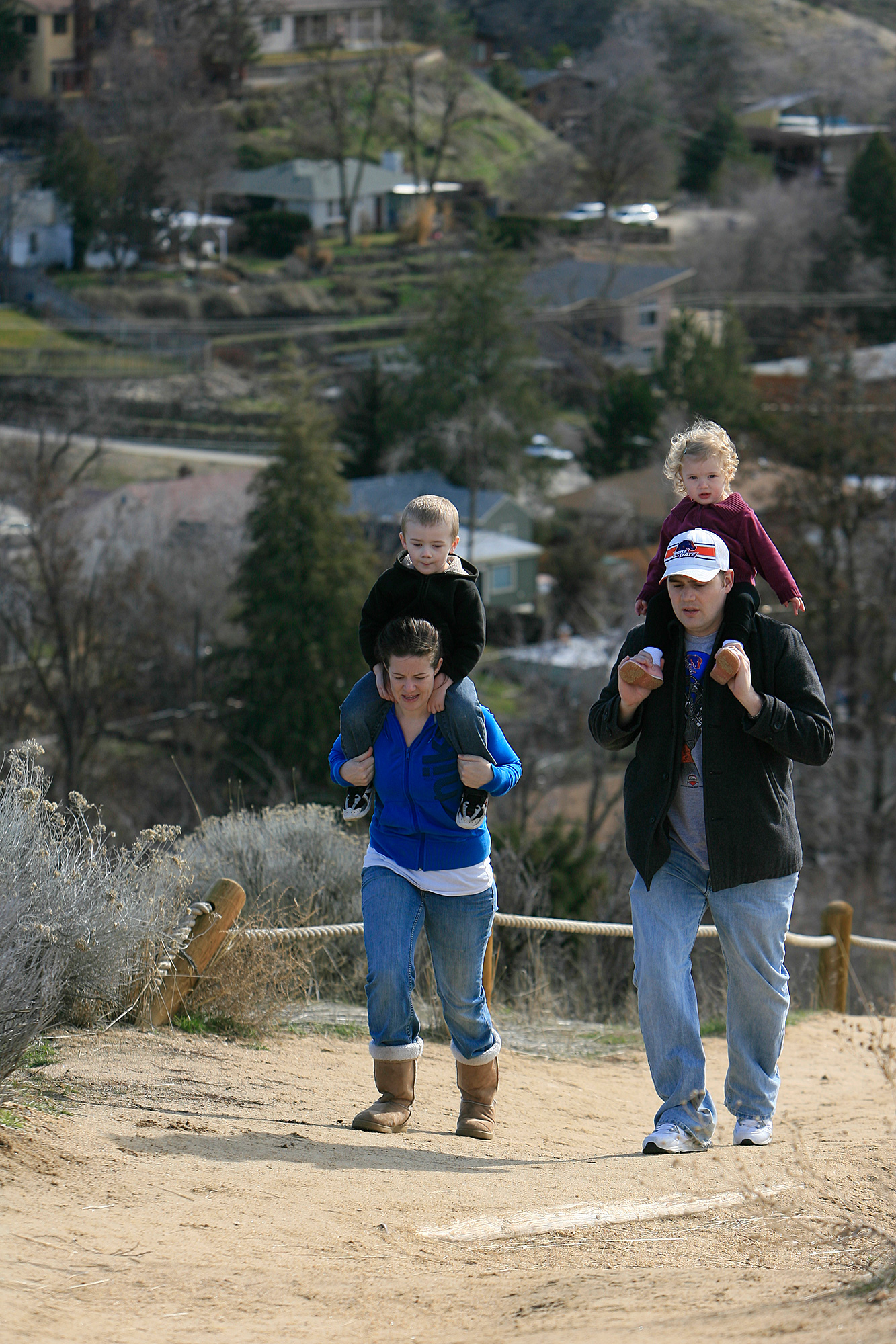
In 2019, the Boise Foothills Trails System welcomed 6.4 million day-use visitors. Spanning over 85,000 acres, the trail network is conveniently located within walking distance of downtown Boise, Idaho, and attracts runners, walkers, and cyclists regardless of the weather. Boise residents love to exercise, and this trail system offers something for everyone.
During the first year of the COVID-19 pandemic, trail usage increased by 21%. This surge can be in part attributed to the rise of remote work, which facilitated a migration of people to Idaho.
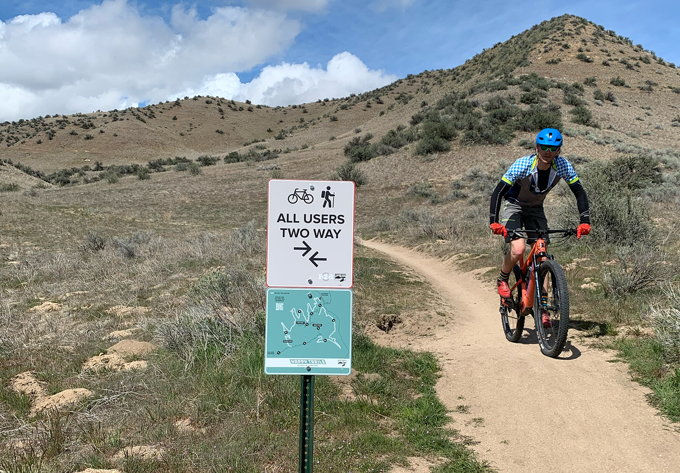
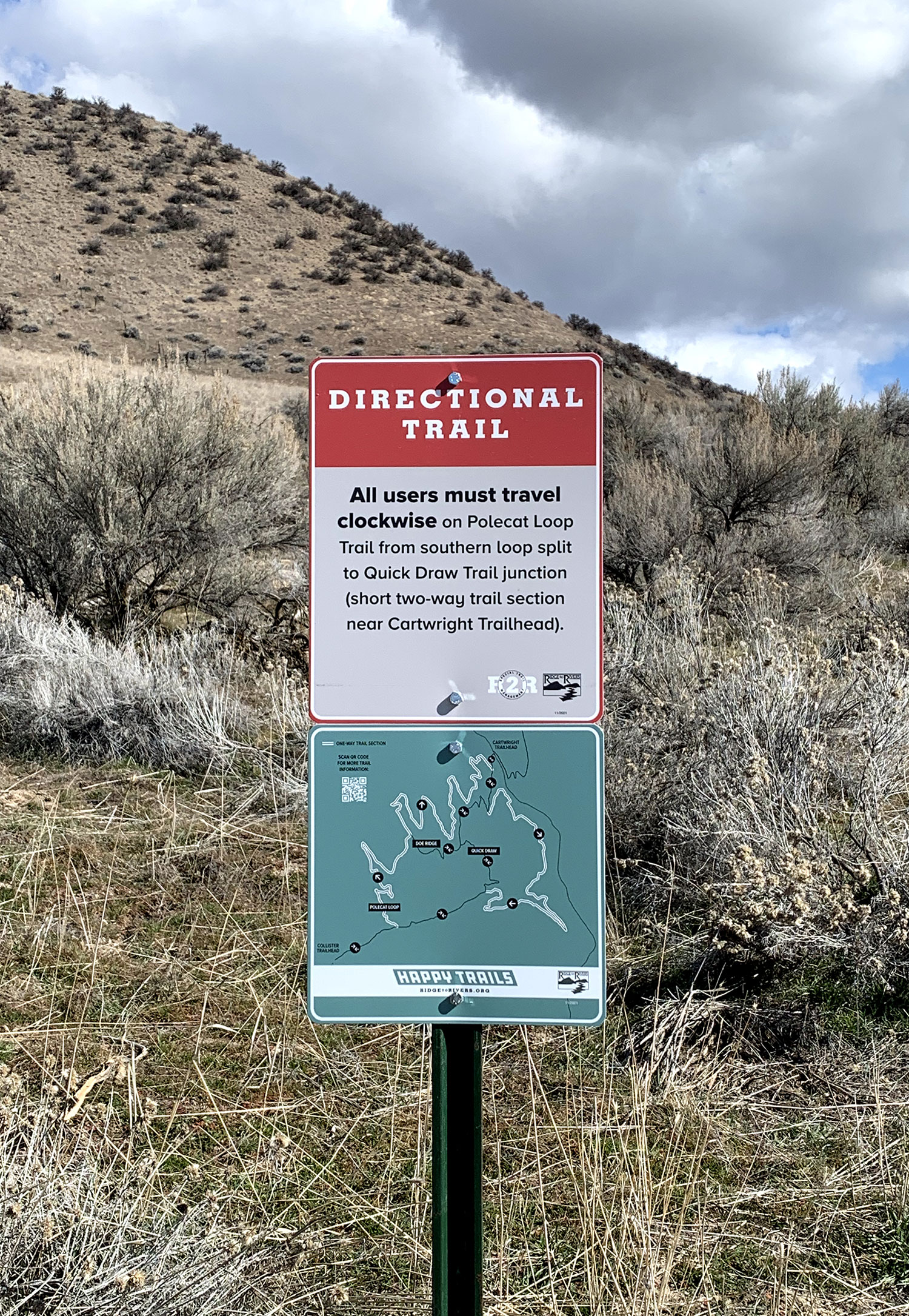
In response to this surge in demand, the Ridge to Rivers Partnership, a collaborative effort involving several government agencies responsible for managing the extensive 190-mile network of trails, launched a comprehensive trail usage strategy. This strategy involved designating specific trails as directional or limiting their use and implementing signage to provide users with essential information about trail management and potential seasonal muddy trails.

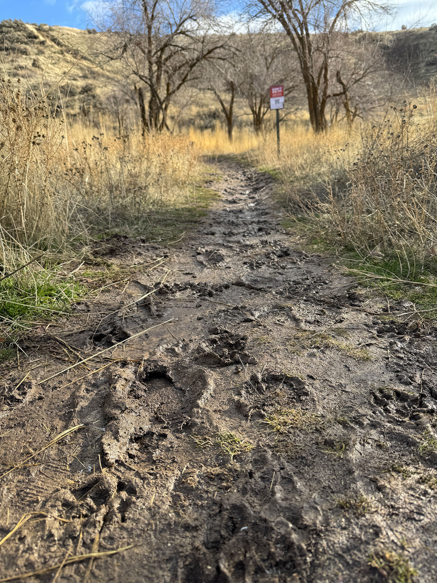
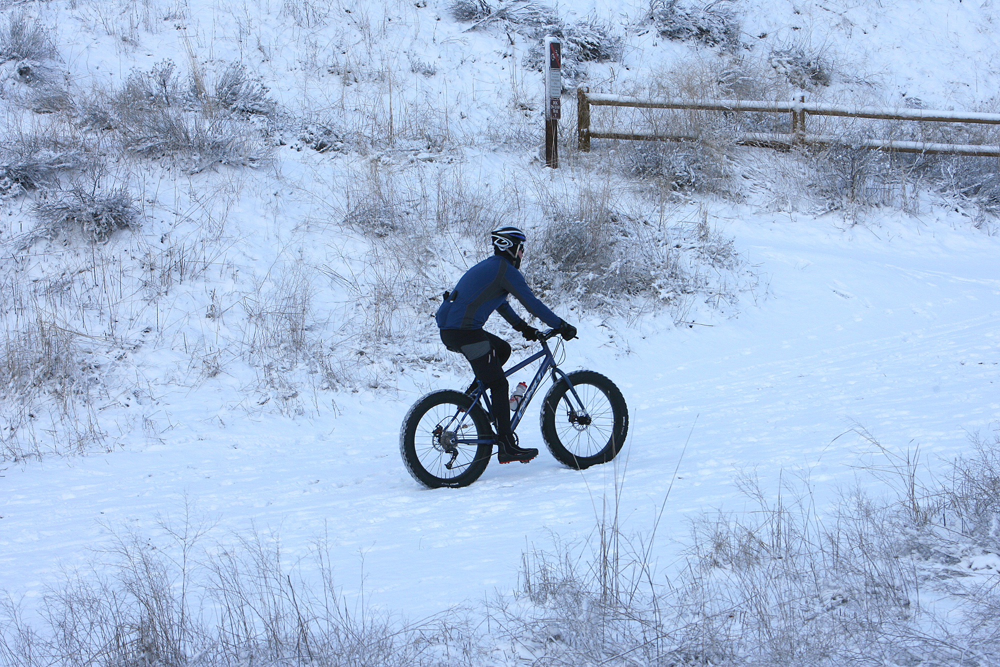
One of the key challenges addressed by this strategy was the impact of muddy trails on the trail system. Muddy conditions force users to create new paths, leading to damage to vegetation, widening the trails, and altering the single-track character of the trails.
While the new strategies aimed to reduce environmental impact and enhance safety, they inadvertently led to confusion among trail users. Unaware of the intended direction of travel, trail etiquette, and trail conditions, trail users faced safety concerns and adverse effects on the environment.
Problem definition
My solution narrowed the scope to two user pain points.
- How might we create a safe experience for all trail users, regardless of where they are in the trail system?
- How might we increase environmental sustainability in the Boise foothills, allowing for continued use of trails for generations to come?
Solutions
I focused my designs on solving the two common issues encountered in the trail system: what conditions are the trails in, and what are the management trails for this year?
To solve the problem of trail conditions, I designed a context-aware hierarchy to support responsible decision-making without blocking access or relying on enforcement. The home screen adapts dynamically to current trail conditions, based on weather and trail reports.
To allow Ridge to Rivers to communicate its ongoing trail management strategy, I created a scrollable list of all trails in the system currently under restrictions. i.e., odd/even day or directional.
The solutions presented here are based on an iOS app platform. The ideas could also be implemented as a mobile web app, leveraging the current content and mapping API used on the Ridge to Rivers website.
Intentional friction
When trails are muddy, the home screen switches to a stewardship-first state, highlighting environmental conditions, explaining impact, and de-emphasizing search. The design intentionally introduces friction, guiding users to check trail status or opt in to notifications to keep better informed.

Exploration first
On optimal days, the interface prioritizes exploration with search, trail management cards, and directional guidance to support quick planning and reinforces correct travel direction to reduce conflicts.
With fewer environmental constraints, the experience shifts from caution to discovery, enabling users to move quickly from intent to action while still embedding subtle cues that promote safe, shared trail use.

Early iterations
Early design exploration focused on two additional solutions:
- Using social proof as a core system behavior, allowing trail users to contribute real-time trail condition reports that inform others. Users are more likely to believe conditions reported by multiple recent trail users. In this way, it acts as a behavioral feedback loop, aligning individual decisions with the broader goal of protecting the trail system.
- Trailheads are critical decision points, but today, the experience often breaks down when users need this information the most. While Ridge to Rivers has already implemented QR codes on signage, scanning them results in a poorly optimized mobile experience, creating friction rather than guidance. This feature reimagines QR codes as a seamless bridge between the physical trail system and a mobile-first interface.


Research
Since Ridge to Rivers launched its trail management program, they've conducted annual surveys to gather feedback on trail usage. To date, over 20,000 individuals have responded to these surveys.
My research began with this data, but didn’t stop there. I also interviewed dozens of trail users, including cyclists, runners, hikers, and walkers. Their comments, shown below, echoed the issues reported in the surveys.
When I’m not designing interfaces, I’m an active cyclist and hiker. This gave me the unique opportunity to do field studies. Observing many instances of trail damage and users going the wrong way. Some of the trail users I met while in the field became interviewees later.
During this phase I also I selected a group of trail users for usability tests using a set of wireframes.
"Usage has increased dramatically, people are riding when the trails are wet."
"I didn't know ahead of time which direction the trail was. I couldn't remember what day it was."
“It feels like we’re second-class citizens to mountain bikers.”
Status qou

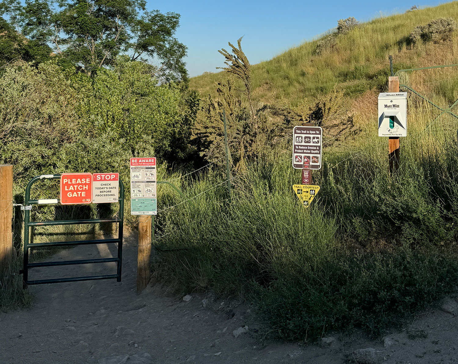
Ridge to Rivers first attempt to solve these problems was with signage. The organization began installing signs at trailheads in the spring of 2021. Since then, they have also added additional signage regarding trail conditions during the winter months. The result is often an overwhelming visual experience at some trailheads.
The organization also has an interactive map on its website that shows live trail conditions and management. Live conditions are based on trail user reports from social media, and the Ridge to Rivers site itself.
The website gets around 16,000 organic visitors each month. Almost 80 percent of respondents on the most recent survey said that the interactive map was the most valuable part of the website experience. People are coming to the site seeking trail conditions, unfortunately the mobile experience suffers from numerous usability issues.

Wearable solutions
The wearable device market is expected to increase to 142.4 billion by the end of the decade as more people use them for fitness and wellness.
The Apple Watch allows users to receive texts messages from anywhere there is a cell signal. Wahoo and Garmin, fitness device companies, have cycling computers with large, high-density screens that display maps and can also receive text messages.
Since not every trail user will have their phone with them, these common technologies should be considered as part of the solution.

Summary and business outcomes
The solutions proposed here would help solve user conflict and reduce environmental impact. But it could also have a positive financial impact on the organization itself.
Ridge to Rivers allocates 70 percent of its annual budget to trail maintenance. While some of this money is used to construct new trails and perform general upkeep, a significant portion is necessary to repair damaged trails caused by excessive usage in muddy conditions. By developing solutions that help minimize the number of damaged trails, the organization can significantly reduce the cost of maintenance for repairs.
As a trail user I’ve experienced the same problems described here. I’ve encountered muddy trails, cyclist going the wrong way, and confusion when seeing multiple signs at a trailhead - all of them saying different things. However, as a designer, I can't help but be inspired to create better experiences, whether it's designing a product or enhancing an experience such as the Ridge to Rivers Trail System.